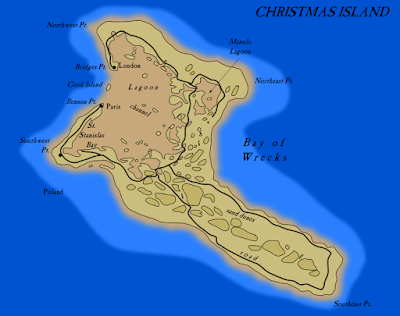
It is Christmas and Its been a busy time so please enjoy these maps of Christmas Island (aka Kiritimati)
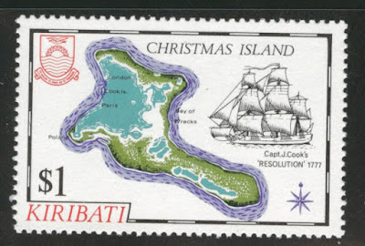
Or, if you prefer the Christmas Island in the Indian Ocean.


 |
| Via Enderra |


|
| Via Enderra |
I did not take the time to participate but was amazed at the people who did, many of them every day-and some of the results are pretty fantastic. I will highlight some of the ones I liked (mostly showing the tweets) though I did not see everything that came along.Announcing #30DayMapChallenge in November 2019! Create a map each day of the month with the following themes 🌍🌎🌏— Topi Tjukanov (@tjukanov) October 25, 2019
No restriction on tools. All maps should be created by you. Doing less than 30 maps is fine. #gischat #geography #cartography #dataviz pic.twitter.com/6Go4VFWcJB
Mangroves vs HurricanesDía 28: Divertido / #Yïkxekp— Colmix (@Colmixe) November 29, 2019
Un mapa de las #naciones de #Oaxaca en estilo #Lego#30daymapchallenge pic.twitter.com/atCYy1lWrQ
European Hydrology#30DayMapChallenge Day 25: Climate - Mangroves vs Hurricanes— Christopher Pollard (@CRVanPollard) November 25, 2019
Mangroves have the ability to lessen the impact of flooding caused by hurricanes (reducing storm surges by 26-76%) BUT they are in an annual decline globally. pic.twitter.com/zH2nsElrFS
More from Maarten Lambrechts here.#30DayMapChallenge nr 26 (hydrology): Where each drop of rain in Europe (EU, actually) flows to pic.twitter.com/8iJ9krRRtE— Maarten Lambrechts (@maartenzam) November 26, 2019

Commuter Rail in the Northeasten USA#30DayMapChallenge Day 4: Hexagons— Craig Taylor (@CraigTaylorGIS) November 4, 2019
Citibike trip data binned into hex pillars by finish position and pivoted into hourly blocks by stop time for New York.
Data via: https://t.co/OFuEtfnixP#map #3d #dataviz #nyc pic.twitter.com/tAnVDy1s5r
London Fried Chicken TerritoriesMy submission for #30DayMapChallenge day 2 - lines:— Philip Pierdomenico (@PhilPierdo) November 2, 2019
Commuter rail (not Amtrak) in northeastern US. Some data was hard to find (esp @MTA). I've taken these lines from Wilmington DE to New Haven CT. Shows how challenging #railroad is in US. #Map produced in #QGIS 3.8. pic.twitter.com/HKgzCUYRr8
and whatever this is.London chicken territories, based on purveyors of fried chicken. #30DayMapChallenge #Day28 #Funny pic.twitter.com/DJZxBOqHrE— Heikki Vesanto (@HeikkiVesanto) November 28, 2019
— emil (@57x025) November 28, 2019For more here is a huge gallery of submissions.
Holy to Jews, Christians, and Muslims, modern Jerusalem has been shaped by 3,000 years of worship, conquest, devastation, and rebuilding. For @NatGeo, we worked on how to visualize this in a graphic. THREAD (1/21). https://t.co/qhwIBdAqNb pic.twitter.com/rhvl5y4AnJ— Alberto Lucas López (@aLucasLopez) November 26, 2019

One minor issue I have is the size comparison below. While most of us on the east coast of the United States understand this, I'm not sure how meaningful this is to people in other areas of the world.Using architectural plans, photographs and text descriptions that included building dimensions, we made detailed 3D models of buildings. Some of the architectural plans were pulled from the website https://t.co/uJJdjp5GEY. Others from the Library of Congress (@librarycongress). pic.twitter.com/xOeoYD6SEh— Alberto Lucas López (@aLucasLopez) November 26, 2019


 | |
| Via University of Chicago Press |