Showing posts with label louisiana. Show all posts

Tuesday, February 23, 2021

Black History in Baton Rouge

Mid City Studio in Baton Rouge, Louisiana created a series of maps for each month in 2017 in honor of that city's 200th anniversary. The map for February, Black History Month, shows the historic highlights of South Baton Rouge.

What the map design lacks in excitement it makes up for with a wealth of detail.  Their other monthly maps are also worth a look.


Wednesday, February 14, 2018

Look North

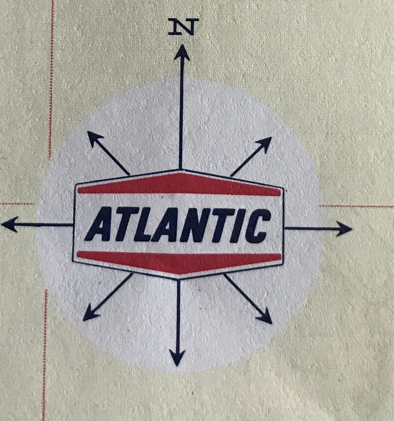
Going through my recently acquired road maps, I was intrigued by the many different north arrows. Many are gas stations maps-the work contracted out to map publishing companies such as Rand McNally and H.M. Gousha. Oil companies put their names on the map and often their logo on the north arrow.
Here's an example from the Gulf "Richmond Tourgide" - their cutesy misspelling, not mine. Rand McNally produced this map. Here are some more:


Flying A Service Metro D.C. Street Map- Gousha.


Cities Service - I don't know who they were and it was hard to get a clear picture of their logo. This is from their Maine map (Bangor inset). You can see the H. M. G. Co. (Gousha) text.


Before Arco, there was Atlantic - From a Tampa-St Petersburg map-Rand McNally


American - Greater Miami Street Map and Mobil Travel Map of the San Fernando Valley, California - Rand McNally


Two Gousha's - one from the Hertz/American Express Chicago map and one from their own branded New Orleans city map.


AAA's maps used this globe north arrow. They liked to put them in the water.


Here is one from Rand McNally's Los Angeles map. It appears on the LAX airport inset. This map looks very different stylistically from the rest of the map and the Thomas Brothers north arrow explains why.

The other sections of the map all have this dull, understated e.e. cummings- style "n"


Some state tourist agencies.
Maryland - I don't love Maryland's schizophrenic flag, but I like how they incorporated it into their north arrow.


Virginia - very detailed.


Montana-now that's a quality north arrow!


Best of all - South Dakota with its compass ring showing where the needle would point at the center of the state. Two rings, one for true distance and one for magnetic variation, plus the state seal!
 Here are some more


Wednesday, March 18, 2015

A Fresh New Six Pack of Maps

Spring beer season is back! A few years ago I posted some maps from the bottoms of beer packaging. Here are some new examples from my obsessive collection.
From California comes this dry, hoppy map from Anderson Valley Brewing. An extra malty monochrome color scheme adds a nice finish that smoothes out the jagged edges of the mountain roads.
This colorful map from Louisiana's Abita features floral notes and a complex coastline.
 Oregon's Full Sail uses some complex topography to balance out its simple map profile. Fruited plains accompany purple mountains gracefully. Good eye feel.
Shiner's complex geography pours into a smooth, straightforward map. A red star adds hints of location.
There are two ways to enjoy a Boulevard map from Kansas City. The outer more complex view gives way to a more blocky, local feel finished off with a large, red building.
This dark, chocolatey map comes from Avery Brewing of Boulder, Colorado. The deep cocoa malt is easily traversed by lighter milk-chocolatey passages. DO NOT use this map to find the brewery. They have moved out to the edge of town.


Wednesday, December 12, 2012

12/12/12

Happy 12/12/12!


 Here are some maps and boring facts about highways designated as Route 12 - mostly from Wikipedia.

US Interstate 12 is one of the shortest major (one or two digit) interstates in the country running 85 miles along the north shore of Lake Pontchartrain all in Louisiana. It is a shortcut that takes you from Interstate 10 back to Interstate 10 avoiding New Orleans. The road is also officially called the Republic of West Florida Parkway, in honor of that short lived republic created from an 1810 rebellion against Spanish rule.


By contrast US Route 12 is an almost cross country route running from Detroit to Aberdeen, Washington, almost 2,500 miles. The photo on the lower left was taken near the intersection of Michigan Avenue and Cass, where Route 12 officially begins. This photo came from the US Ends, a web site for people like me who are obsessed with where roads begin and end. On the left is a map of the Grays Harbor area at the western end of Route 12.


South Korea's Expressway Number 12 is also called the 88 Olympic Expressway. It runs across the southern part of the country.


There's many other highway 12's listed on Wikipedia's List of highways numbered 12 inlcuding the following three non-US routes chosen because I like their route shields.


Finally realizing that I forgot the awesome Kansas sunflower route shields (despite K-12 being retired,) here is another set of US state route shields. Once again, Happy 12/12/12!

Wednesday, September 28, 2011

Franquelin's Map of Louisiana

Jean Baptiste Louis Franquelin was the first official cartographer in Canada. He mapped the interior of North America in great detail in order to bolster French claims to the region. In 1684, he prepared this remarkable map recording the explorations of Jolliet and La Salle. The map is one of the first to contain many common place names, most of which started as rivers, such as Chicago (Chekagou), Illinois (both a lake and a river), Wisconsin (R. Misconsing), Kansas (Cansa), Ohio and the Wabash (Ouabache) among others.


The original map has been lost. This later facsimile is available from the Library of Congress. Below is a detail showing the eastern Great Lakes, "La Pennsylvanie," "Virginie," and the Ohio River referred to as the "St. Louis" but with a tributary called Ohio.


The map shows the Mississippi River flowing west into Texas before reaching the Gulf of Mexico. According to Louisiana: European Exploration and the Louisiana Purchase (see page 14) from the Geography Division of the Library of Congress, the course of the river was fraudulently altered to gain royal support for a fort at its mouth. By being closer to Mexico, the fort would have been more economically viable by serving as a staging ground for incursions into Spanish territory and attacks on the silver mines of Mexico.

From the Geography Division publication:
Having gained French support for his project, La Salle attempted to return to the Mississippi by way of the Gulf Coast in 1684-85, but his ships missed the mouth of the river and the expedition landed at Matagorda Bay, Texas. Two years of starvation and disease followed and subsequently a mutiny took his life. La Salle failed to establish a permanent colony in the lower Mississippi Valley but he did plant French claims over the vast region that eventually became the Louisiana Purchase.

Wednesday, May 19, 2010

Map of the Week-Deepwater Drilling and Spilling

The New Orleans Times-Picayune has some very detailed coverage about the BP Deepwater Horizon Oil Spill in the Gulf of Mexico. There are lots of maps and graphics showing how the spill happened, what BP is trying to do to contain it, fishing closures and the extent of the damage. You can also read some fascinating comments. Blame an accident by a British oil company on whatever US politician you don't like. Choose the comments that work for your agenda!

Here is an image from NASA. Not pretty.


Below are forecasts of the extent of the oil slick for today and tomorrow.


They also have a map animation. Click on the image below to see.    


Thursday, April 29, 2010

And the Bizarre Map Challenge Winner Is...

The Alligator Bayou! Despite the fact that I didn't vote for it and despite the confusing legend (high and low what?) and drab color scheme, this map, showing the distribution of French colonial long lots won first prize - $5000. Long lots are narrow lots that extend in a perpendicular direction from the waterfront. This is a distinctive French settlement pattern.
Congratulations to Christopher Brown from the University of Alabama.


For the second and third prize winners check the challenge's online award list. There are also some honorable mentions at the bottom of the page that are worth a look.