Mexico City, one of the world's largest urban areas is built on a lake. The Aztecs built what was Tenochtitlán on an island in Lake Texcoco, connected by causeways to the mainland.
 When the Spanish arrived they decided to expand the city by draining the lake. They did not manage the water properly as the Aztecs had done. Draining and pumping water from underground has caused the city to sink. This in turn has caused very frequent flooding and also ironically made water scarce.
I was curious to see what areas of the modern day city sit on top of the ancient lake beds but have not found a map on the web that makes this very clear. This circa 1519 map on Wikipedia shows some locations, but not the modern urban area.
 I took the .svg version of this map through a complicated software process and georeferenced it as best I can with my limited knowledge of the area. Here are two versions of this map overlaid on two different base maps to give and idea of where the ancient lake was. The first is on a National Geographic map via ESRI.
 Keep in mind that the location of the lake is based on my best estimates. To avoid the assumption of higher level accuracy, I did not make a zoomed in version.
Here is another version using CARTO for the background. Each map has its advantages and disadvantages for legibility. On the one below, you can see the subway network which is kind of cool.
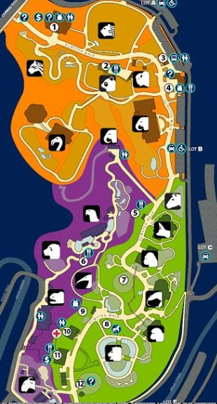
 There are some interesting ideas of how such a large city can cope with the ecological and public health problems it faces including an ambitious proposal for a 145 million square mile Lake Texcoco Ecological Park - 23 times the size of the city's huge Chapultepec Park. Clicking the numbers on the map below, you can see some of the proposed projects.


I was curious to see what areas of the modern day city sit on top of the ancient lake beds but have not found a map on the web that makes this very clear. This circa 1519 map on Wikipedia shows some locations, but not the modern urban area.


Here is another version using CARTO for the background. Each map has its advantages and disadvantages for legibility. On the one below, you can see the subway network which is kind of cool.

The Texcoco Lake Ecological Park will become a tangible symbol of how our society can enter as an integral part into natural processes and help the proper functioning of the landscape.
Lake Texcoco Park is a work in progress, a vision of a remarkable place conceived by a collaborative group of scientists, engineers, biologists, chemists, ecologists, architects, urban planners, landscapers, and politicians.