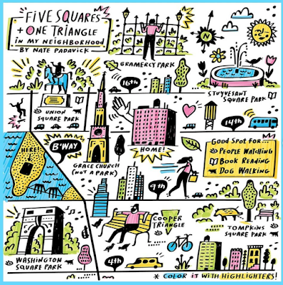
Bloomberg Company's CityLab and the New York Times have both asked readers to submit maps of their neighborhoods under lockdown. The Times one, via Instagram includes this map from Nate Padavick,
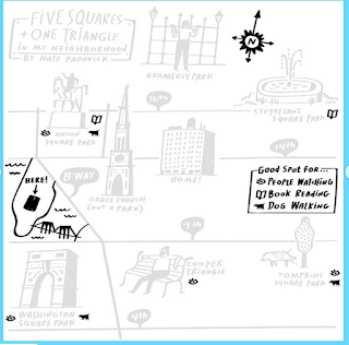
 and some directions on how to make it.

 Here are some reader submissions that I like.
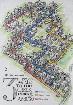
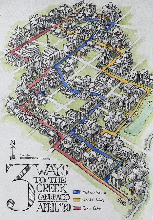
Three ways to the creek in Austin, Texas by Champ Turner
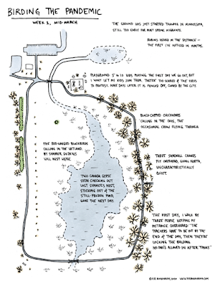
 Birding the Pandemic by Rick Bohannon of Minnesota.
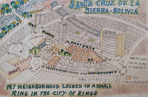
 Santa Cruz de la Sierra, Bolivia is known as the City of rings for its network of Ring Roads. Augusto Javier León Peralta's shows his neighborhood "ring" incuding the route from home to the market and back. "We can even see some animals in the city that were not seen before"
 Here is one from Calais via Twitter

Finally, one from the NY Times Travel Instagram- a nice, simple pen & ink from Emily Bouchard in Chicago.
 For more from instagram click here, but you need to wade through a bunch of stupid, gorgeous photos to find the maps. For the more maps go to CityLab


Three ways to the creek in Austin, Texas by Champ Turner

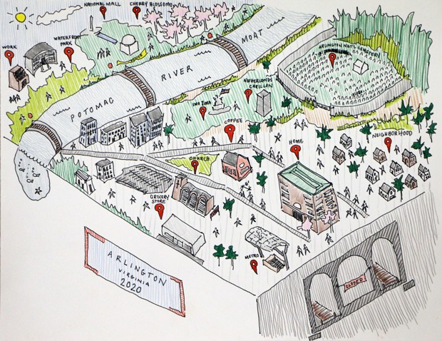
A map from Lauren Nelson of Arlington, Virginia showing the "moat" that the Potomac River has become.Petite carte de mon monde depuis le 17 mars 2020. C’est fou tout ce qu’il peut y avoir, dans un cercle de rayon d’un kilomètre ! #confinement #cartographie #calais pic.twitter.com/YtCm3blHOi— Arthur Beaubois-Jude (@Tabularthur) April 27, 2020
Finally, one from the NY Times Travel Instagram- a nice, simple pen & ink from Emily Bouchard in Chicago.