A young Indian boy carves a little canoe with a figure inside and names
him Paddle-to-the-Sea. Paddle's journey, in text and pictures, through
the Great Lakes to the Atlantic Ocean provides an excellent geographic
and historical picture of the region.
When I was in school one of the teachers showed us the movie version of
Paddle-to-the-Sea. At first I thought it was kind of dumb watching a kid carve a canoe and I probably wasn't paying complete attention. Then suddenly, the canoe slid down the hill and into the river and began its journey. I was transfixed and transformed and all those other cliches. Ever since then the movie has had a powerful hold on my imagination, though not in the forefront of my mind until I found out that you can
see it in Google Earth.
The
COSEE Great Lakes web site allows you to download a kml file and explore it, chapter by chapter. Here are the beginning chapters from the Nipigon River region of Ontario.
Paddle the enters Lake Superior. After heading the wrong way and getting stranded on beaches and marshes, it eventually finds its way to the Soo Locks with the help of a dog sled.
After a detour through Lake Michigan, it ends up in the lower Great Lakes where it tumbles over Niagara Falls and into the St Lawrence Seaway.
Finally reaching the Atlantic it gets caught by a French fishing boat and brought to France.
The book itself is worth re-reading or even purchasing. I took a nicely worn copy of it out of the library. Here is an image of the main map from the book taken from
SecretPlans.
In addition to the geography lessons, the book also diagrams a sawmill, a canal lock, a lake freighter and several other industrial processes that take place in the Great Lakes region. It also has diagrams that morph the lakes into recognizable shapes long before morphing became fashionable. Lake Superior is morphed into a wolf's head, while Huron becomes a trapper carrying a pack of furs.The maps also show the birthplace of the
Dionne Quintuplets - this must have been a big story for the pre-octomom era.

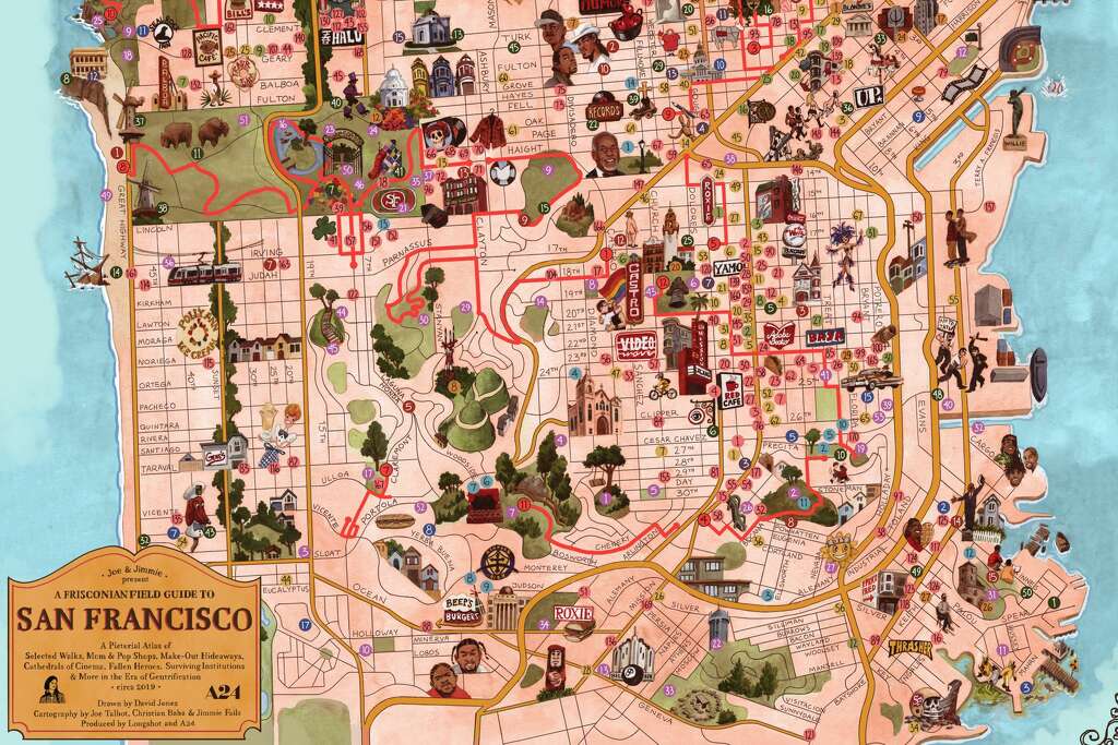
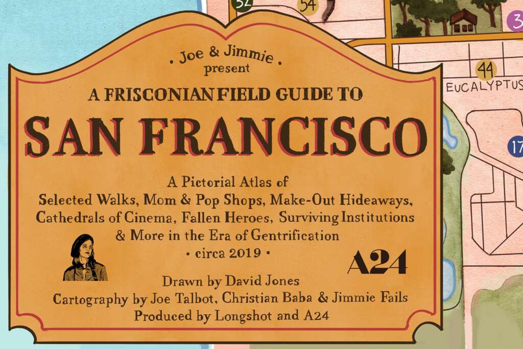
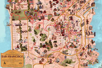 The idea was to capture what places have been priced out and what still exists. Here is the title block.
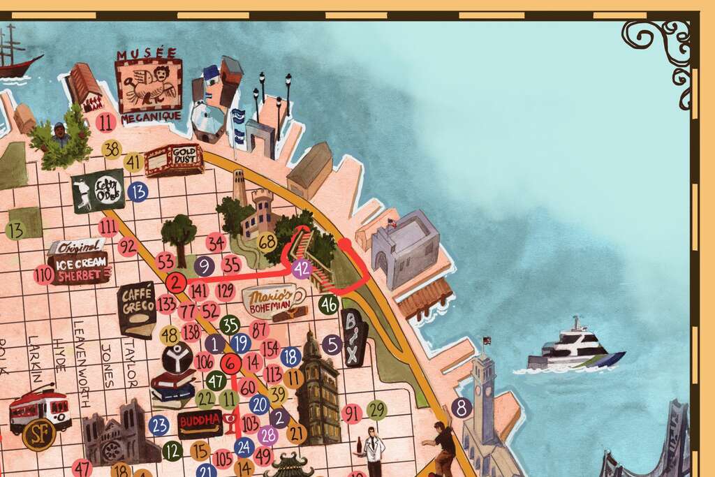
 Here are some details.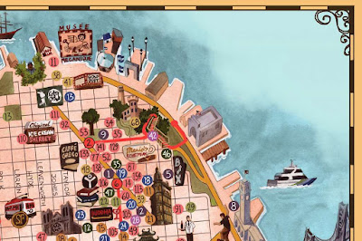
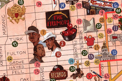 Here lies the ghost of a football stadium as people in hazmat suits dump green stuff into the bay.
 All these pictures were lifted from SFGATE where you can read and see more details.