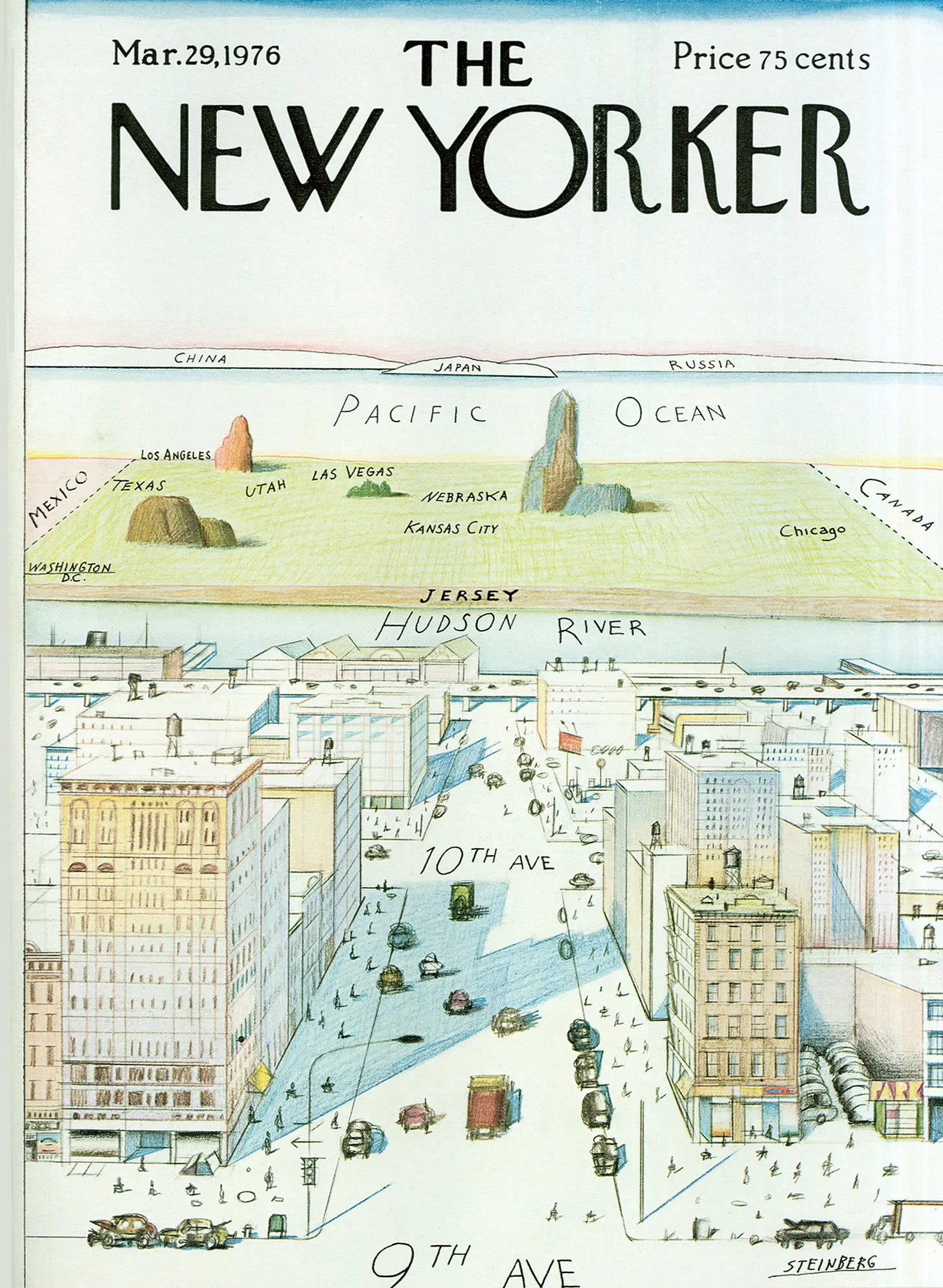
I had an opportunity to try out an Artificial Intelligence (AI) tool to help college instructors brainstorm class activities. I asked the tool to suggest a class syllabus about mid 20th Century pictorial cartography. The AI (based on Claude) suggested highlighting various cartographers including Howard Fogel. Having never heard of him I asked some follow up questions that did not get me any closer to this person. After my session was over I went directly to Claude, who had no results about him. A search of various platforms and map sites came up empty, except for this one map attributed to “Fogel” from Barry Lawrence Ruderman Antique Maps Inc.
I contacted the company to ask if they had any more knowledge about “Fogel” and the answer was no. The author is merely “Fogel”. If anyone out there knows anything about Howard Fogel, please let me know. Is this just be some kind of strange AI fabrication? In the meantime let’s appreciate Fogel’s (one and only?) map.. .
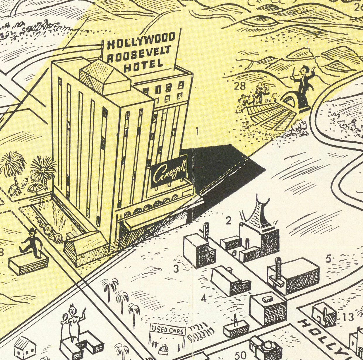
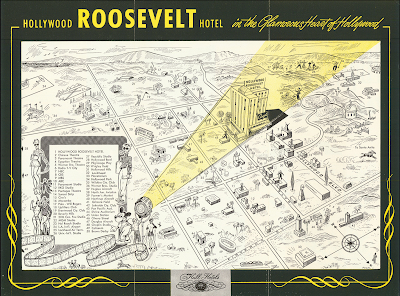
A film crew spotlights the centrality of the hotel, across from the Chinese theatre and adjacent to the other theaters and television studios. Mickey Mouse points out the numbered landmarks. There’s a bunch of fun going on as people are playing golf, tennis and polo, racing horses, conducting orchestras at the Hollywood Bowl, watching sports at the Coliseum, having picnics and flying their planes, all while the cops are guarding Beverly Hills. Downtown Los Angeles is just a tiny sideshow in the far corner. You’d barely know it’s there. The flip side of the map shows you all the exciting hotel details. Let's "thrill to the pageantry"!