

Pauline Baynes was best known as a children's book illustrator. Her work on some of the most well known maps of the fantasy genre is less well known. She illustrated maps of Tolkien's Middle Earth and C.S. Lewis' Narnia.
 |
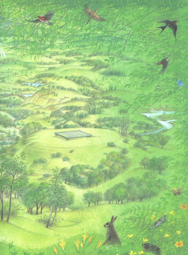
| Map of Narnia for Puffin Books U.K., 1972 |
After studying design at the Farnham School of Art, she started illustrating children's books. During World War II she joined the Women's Voluntary Service and eventually began making maps and nautical charts for the Royal Admiralty in Bath. This cartographic training served her well through her career. Her work was shown to J.R.R. Tolkien who was dissatisfied with his original illustrator for Farmer Giles of Ham. He was delighted with her work and hired her to illustrate the book.
 |
| Map for Farmer Giles of Ham-Pauline Baynes |
Through Tolkien she got to know C.S. Lewis and was hired to illustrate and map his Chronicles of Narnia series.
 |
1998 Narnia right book end sheet-via Peter Thorpe |
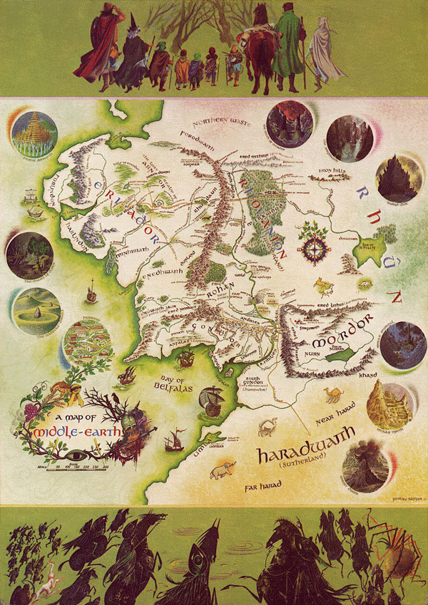
Baynes made a color map of Middle Earth published in 1970. Tolkien supplied her with various charts he made and annotated a map his son had produced for The Fellowship of the Ring in 1954. The annotated map was recently discovered inside Baynes' copy of the books.

More details on this map can be found here. The finished product is below.

To see more maps and artwork visit her tribute site.


No comments:
Post a Comment