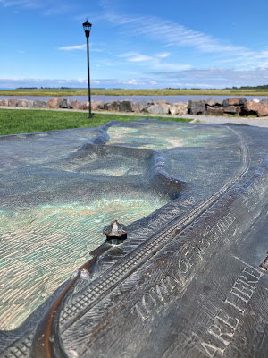
There is an entire web site dedicated to #MapsintheWild - also a social media hashtag. On a recent trip to Nova Scotia, I found some very nice examples, including last week's post. Here are a few more.
There are many memorials throughout the province to the Acadians who were expelled from Canada (also from Maine) by the British starting in 1755. Here is a map found along the Halifax waterfront showing migration and expulsion routes.
Also on the waterfront is Cable Wharf, the endpoint of a 3,200 kilometer long cable under the Atlantic Ocean that connected Europe to North America. This large cylindrical monument (like a spool of cable) includes a map of the transatlantic cables that wraps around the entire cylinder.
Though almost impossible to adequately photograph here is my attempt at a close up of part of the map. The cables are dashed lines that are very hard to see.
Finally, in Wolfville, near the Bay of Fundy, there is a large piece called Work at the Trestle. This bronze sculpture by Ruth Abernethy features T. T. Vernon Smith, civil engineer and builder of the Windsor and Annapolis Railway looking over a map showing damage to the railway after a huge storm in 1869. More on this monument can be seen here.
Here I am looking over his shoulder.
Again a work this large is tough to photograph in a meaningful way. Here is a little bit of the map detail.


No comments:
Post a Comment