
This past summer I took a trip to the Osher Map Library. Among the many wonders I saw there was this 20 foot long scroll map of Japan's Seto Inland Sea.
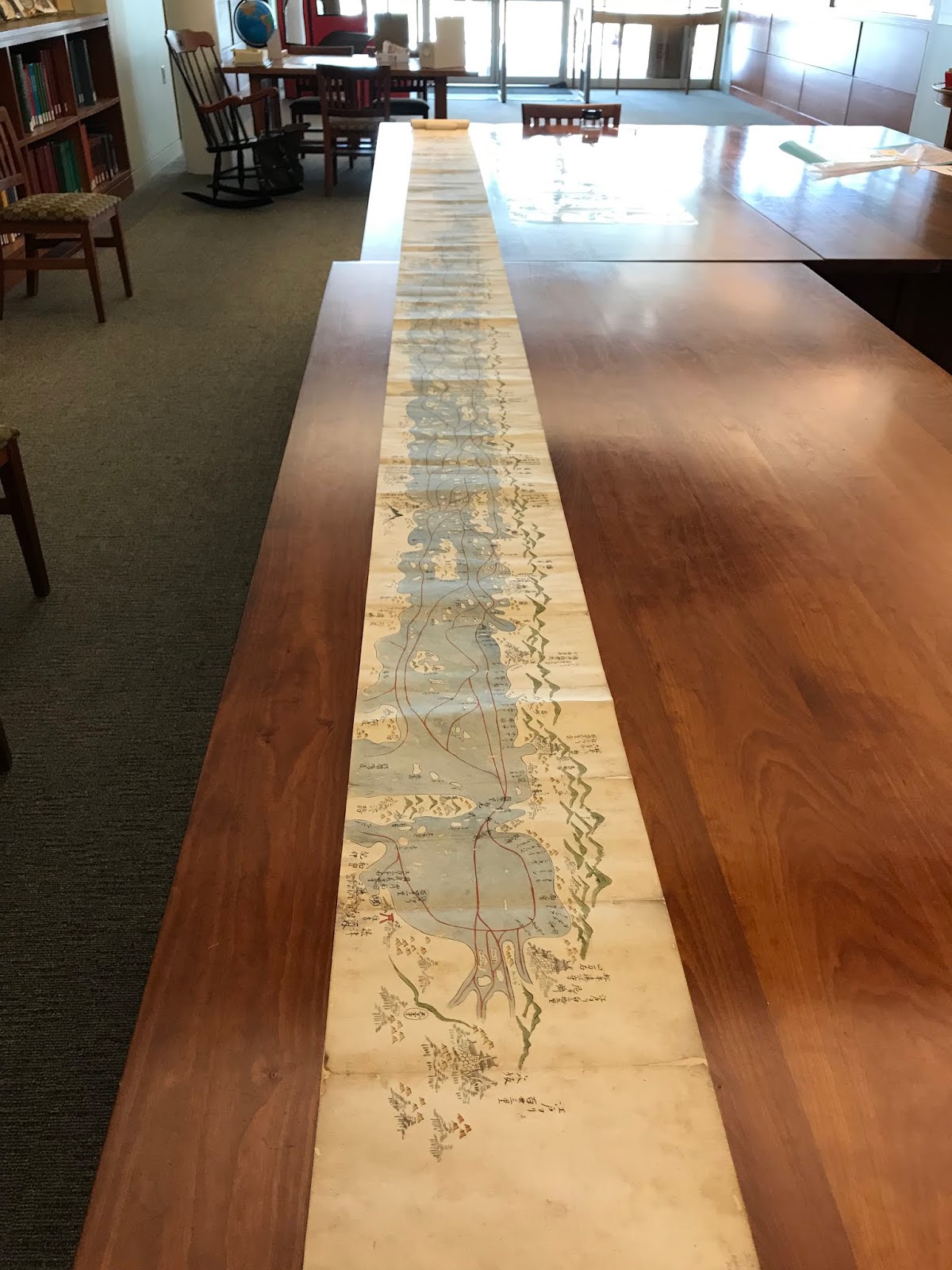
 This is what the map looks like rolled up.
 Here are some close-up views. Some of the geography is difficult to reconcile with today's coast but the map appears to be looking westwards from Osaka Bay.
 Details include mountains, shrines and navigation routes.


 Here is a description of the map on the Osher web page.
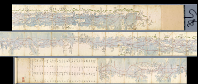


"This Japanese scroll stretches over twenty feet, detailing the coasts and landscapes, castles, shrines and towns. Japanese maps tended to be much larger than European maps of the same era. Many of them were designed to be laid out on wooden floor mats. Created for the purpose of tracking economic activity by region, it notes the annual taxes for each community. It also notes Nagasaki as the only port available to Dutch and Chinese traders. This hand drawn map was crafted in the traditional, pictorial style, known during this period as ezu; the mountains, rolling hills, villages, fortresses, temples, are highly stylized."The entire map can be browsed here. Here is a view of the entire map in one shot.


No comments:
Post a Comment